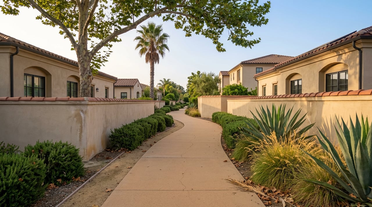
The paved path behind a lot of Valencia backyards gets treated like a landscaping feature. A strip of asphalt with some sage brush and a chain-link fence, good for a dog walk before the heat sets in. Most people who live next to one have never followed it more than a quarter mile in either direction.
That's a mistake, and not because the scenery improves. The paseo outside your fence line is part of an engineered network that the City of Santa Clarita built specifically so residents could get from a house to a school, a park, or a grocery store without crossing a signal-controlled road. It has a name, a construction history, and in at least one case, a role in a 1987 vampire movie. The people who only walk their own block are missing a system.
The Paseo Is Not the Trail
Santa Clarita's own trails division draws a real distinction between two things that look identical from your driveway. The city maintains roughly 80 miles of trails and roughly 20 miles of paseos, and those aren't just two ways of saying the same thing.
Trails are the recreational backbone, largely following the Santa Clara River and its tributaries. Paseos are something more specific: Class I paths built as a completely separated right of way for pedestrians and cyclists, engineered so cross traffic is minimized. That's the technical way of saying what matters to you on a Tuesday morning: a paseo is supposed to get you somewhere without making you wait at a crosswalk.
That distinction has a practical consequence. Trail segments that dip into the riverbed are the ones the city closes without notice after heavy rain, because the underpasses along the Santa Clara River and its tributaries flood. Paseos routed away from the river tend to stay open. If you're planning a school-run or grocery-run walk for the wetter months ahead, that's the difference between a route that works in December and one that doesn't.
Dogs must stay leashed on both, trash goes in the provided receptacles, and motorized vehicles aren't allowed on either. Those rules are consistent across the whole network, which is part of why it functions as a single system rather than a patchwork of disconnected paths.
One Bridge Doing Three Jobs
Start at the Iron Horse Trailhead on Magic Mountain Parkway and you're standing at the piece of the network with the most history attached to it. The centerpiece is a steel truss railroad bridge built in 1898, originally spanning a crossing nowhere near here. It ended up in Santa Clarita after the St. Francis Dam disaster in 1928 destroyed the original railroad span across the Santa Clara River, and Southern Pacific relocated this bridge to fill the gap as a fast fix. Nearly a century later, it's still standing, now carrying walkers and cyclists instead of freight cars.
Film buffs may already know it by a different name. The bridge is where the vampire initiation scene from The Lost Boys was shot in 1987, which is why some longtime residents still call it the Lost Boys Bridge. Near the bridge, an art installation called Crossroads at Iron Horse Trailhead marks five historic Santa Clarita Valley landmarks: Melody Ranch, Oak of the Golden Dream, Newhall Ranch, Lyons Station, and Mentryville. It's a small detail most people walk past without reading, but it's the closest thing this stretch of pavement has to a historical marker.
From the bridge, the trailhead connects directly into the South Fork Trail, and that's where the chain really starts.
The Actual Chain
Here's what the network looks like when you trace it segment by segment instead of treating each piece as its own destination.
| Segment | Length | What it connects to |
|---|---|---|
| Iron Horse Trailhead | 4 miles | The 1898 bridge, community parks, into South Fork Trail |
| South Fork Trail | 8.3 miles out-and-back | Follows a dry waterway south toward Placerita Junior High School |
| San Francisquito Creek Trail | 7.8-mile paved loop | Starts near Magic Mountain, follows the creek |
| Central Park Trail | 3.1 miles | Central Park, with a newer connection to Newhall Ranch Road and a 172-step exercise stairway |
| Valencia Summit Park Trails | 2.5 miles, paved | Meadows and wildflower fields, one of the more dog-friendly stretches |
None of these were built to be walked in isolation. They were built to link up, which means the four-mile loop you've been doing around your own neighborhood might be one link in a chain that could take you to a school, a creek, or a shopping center if you kept going instead of turning around at the usual spot.
Where the Path Actually Leads
The clearest example of a paseo functioning as an errand route rather than a scenic loop is the stretch around Bridgeport. The Bridgeport Loop is a 3.3-mile paved path circling a man-made lake, dedicated in June 2000 and maintained by the city ever since. Eucalyptus trees line parts of the route, and near the lake, SCV Water has planted a Sustainable Landscape Demonstration Garden with native species chosen to cut down on irrigation and support pollinators. It's the kind of detail you'd miss driving past at 40 miles per hour but notice immediately on foot.
Keep walking north on that same connected paseo and you land in a Whole Foods parking lot, a detail confirmed by more than one resident tracking their route on a hiking app rather than a shopping list. That's not a coincidence of city planning. It's the point. A paseo that dead-ends at a grocery store is doing exactly what it was designed to do: turning a car errand into a walk.
The cottage-style homes near Bridgeport back directly onto this loop, which is why you'll see more regular dog walkers here than almost anywhere else in the network. It functions less like a trail and more like a shared front yard for the surrounding blocks.
The Rule Worth Knowing Before October
Santa Clarita's rainy season typically starts to show up in the back half of the year, and this is the point where the trail-versus-paseo distinction stops being trivia and starts being useful. The city is explicit that trail underpasses along the Santa Clara River and its tributaries are the sections most likely to flood and close without notice during storms. If your regular route depends on ducking under a road at a river crossing, it's worth having a backup plan for the weeks when that underpass isn't passable.
The paseos that stay higher and away from the riverbed, like the stretch through Central Park or the Valencia Summit routes, tend to stay open through weather that shuts down the river-adjacent trails. Knowing which category your daily route falls into means one less surprise on a wet Tuesday morning.
Walking It as One System
None of this requires a special occasion or a weekend trip. The value of the paseo network is that it was built for Tuesdays, not Saturdays. It's the difference between driving to Bridgeport for milk and walking there past a lake and a native plant garden, or between letting the dog loop the same half mile every day and following that same pavement all the way to a 128-year-old bridge with a movie history attached to it.
Most Valencia residents have one segment of this system memorized and have never asked where it goes if they don't turn around. The path does not stop at the edge of familiarity. It keeps going, and it was built to.
If you ever find yourself wondering what a paseo-adjacent home is actually worth in today's market, Kym De Lorenzo puts together a free, no-pressure home valuation whenever the question comes up. No rush required, just the kind of local knowledge that comes from walking these same paths.